Air temperature tells you nothing about the pavement. SafePaws turns live weather into a ground-temperature forecast, reads the surface ahead of you, and says something before it burns.
Free to download. Premium from $4.17/month, billed annually.
Too hot for Nova's pads. Grass starts 40 ft ahead on your left, or wait until 7:20 PM.
Every surface below was measured on the same 90°F afternoon in full sun. The gap between the coolest and the hottest is 46 degrees — and only your dog is walking on it barefoot.
No collar, no wearable, no extra hardware. Everything runs from the phone already in your pocket.
Live air temperature, sun angle, and UV become an hour-by-hour ground-temperature curve for your exact location — so you know at 9 AM whether 2 PM is walkable.
Point the camera down the path. SafePaws classifies the ground ahead — grass, concrete, asphalt, gravel — and flags hot stretches before your dog reaches them.
Shade, grass, and surface heat on a live map. Follow the coolest route instead of the shortest one, with the cool-down time for every stretch.
Broken glass, spilled chemicals, an aggressive dog off-leash. Report it once and every walker nearby sees it on their map within seconds.
Breed, coat, age, and paw sensitivity. A husky in July and a greyhound in October get different warnings.
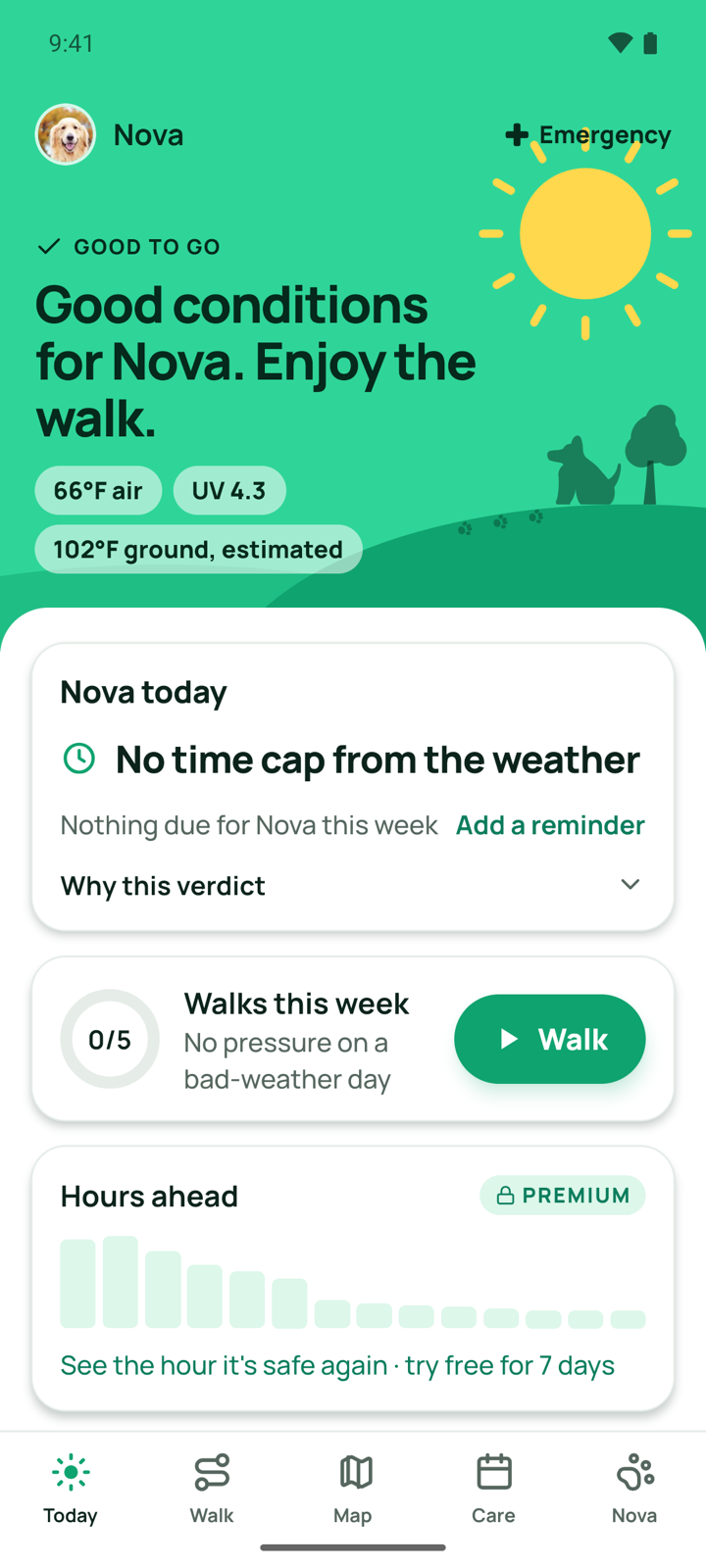
The home screen already knows your weather and today's pavement curve. Green means go, red means wait.
Heat spikes, the surface changes, or a hazard is reported ahead — one clear alert, no scrolling required.
Heat alerts, the hazard map, and walk tracking are free for everyone, permanently. Premium adds the scanner and route planning.
Cancel anytime. Prices in USD, billed through the App Store or Google Play.
Know before you open the door.